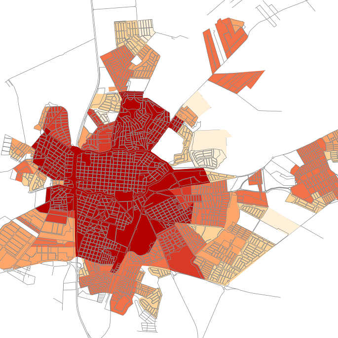
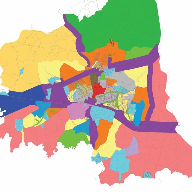
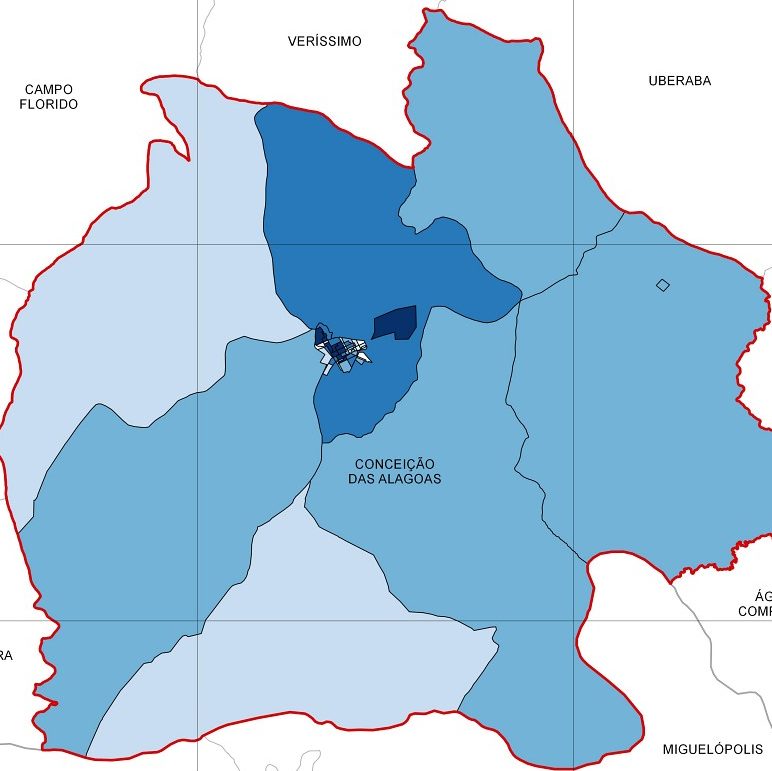
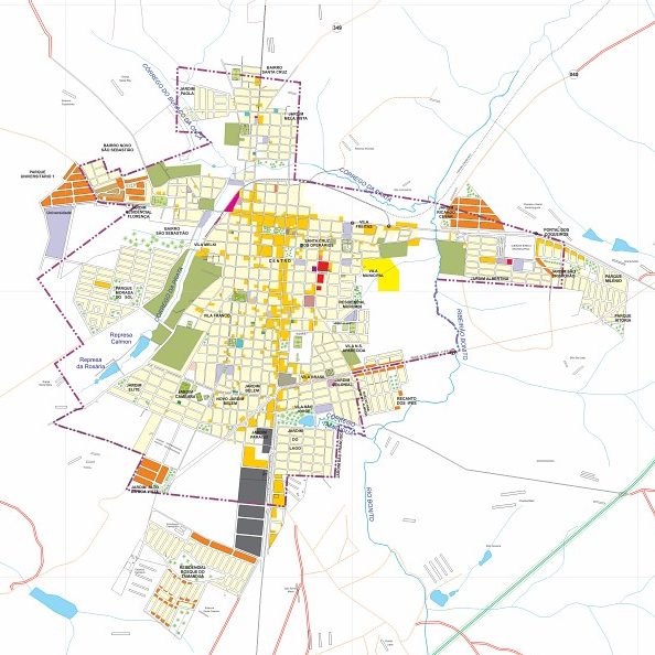
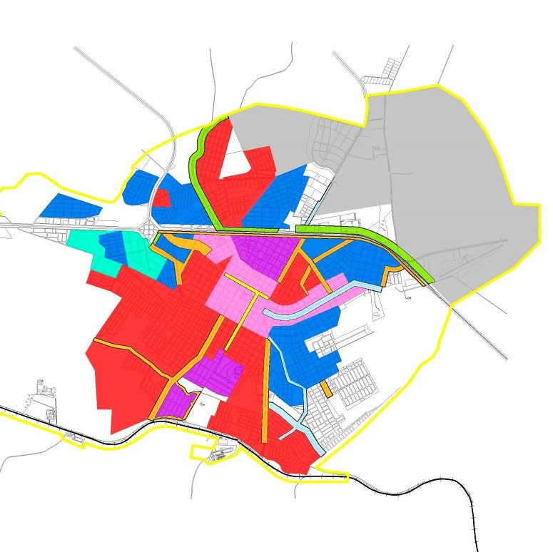
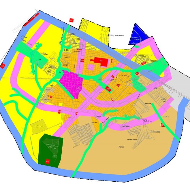
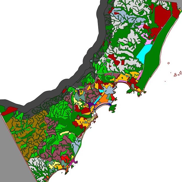
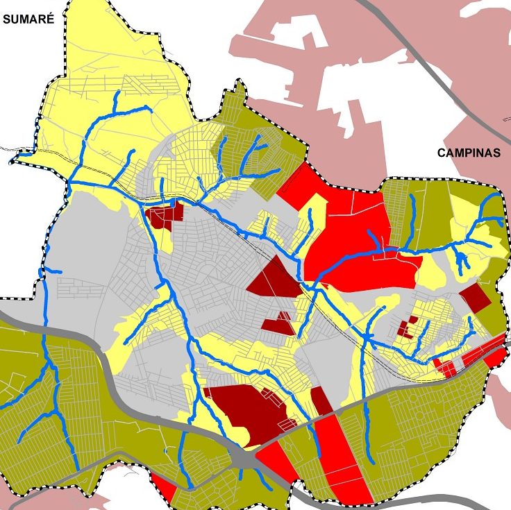
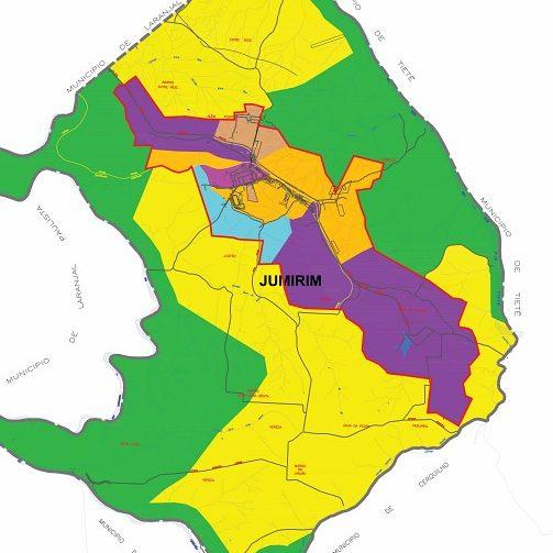
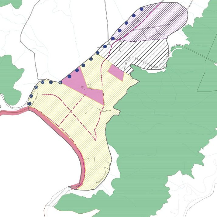
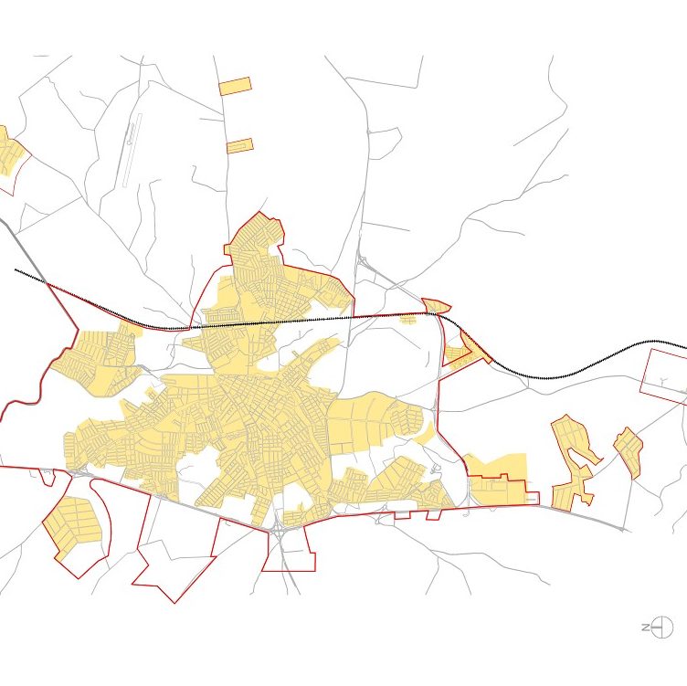
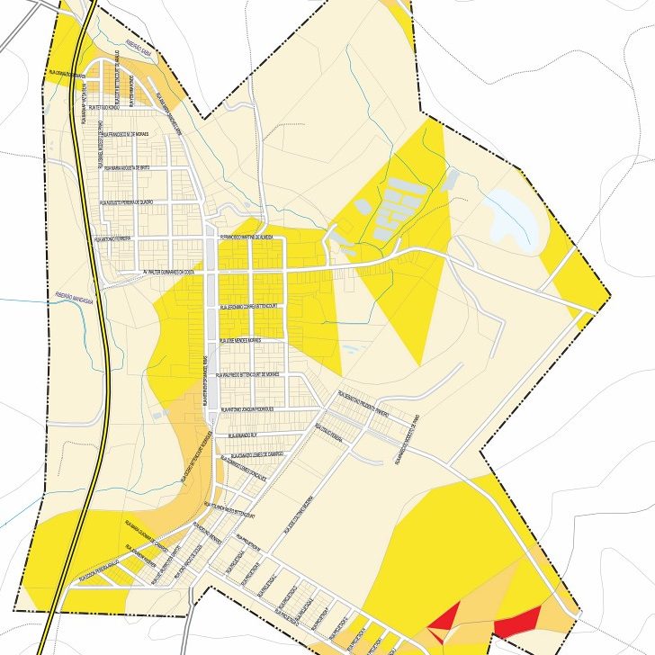
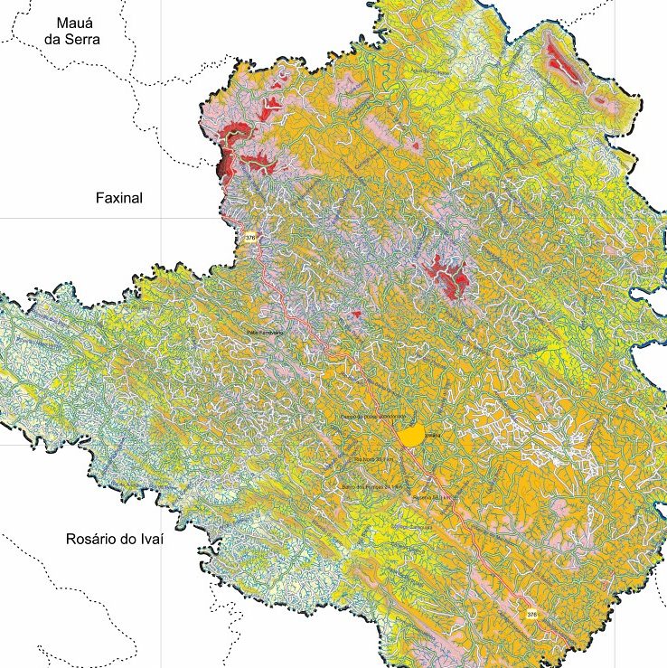
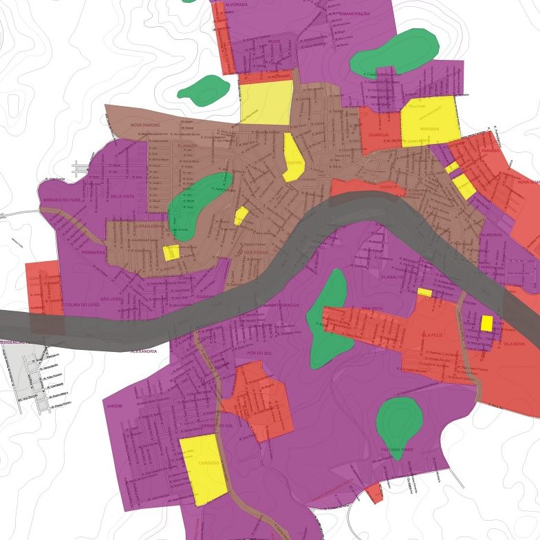
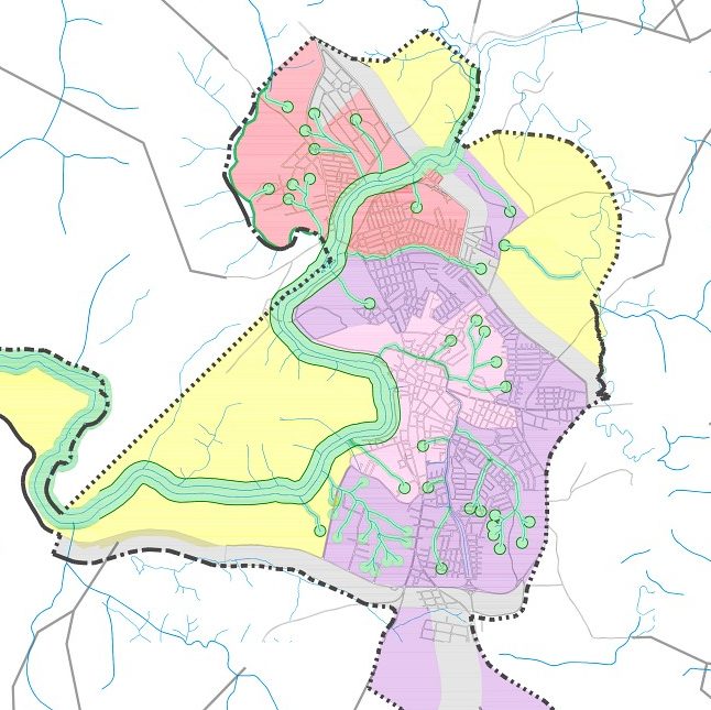
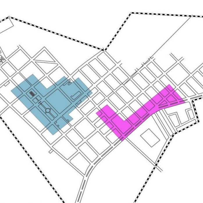
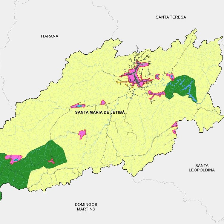
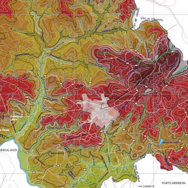
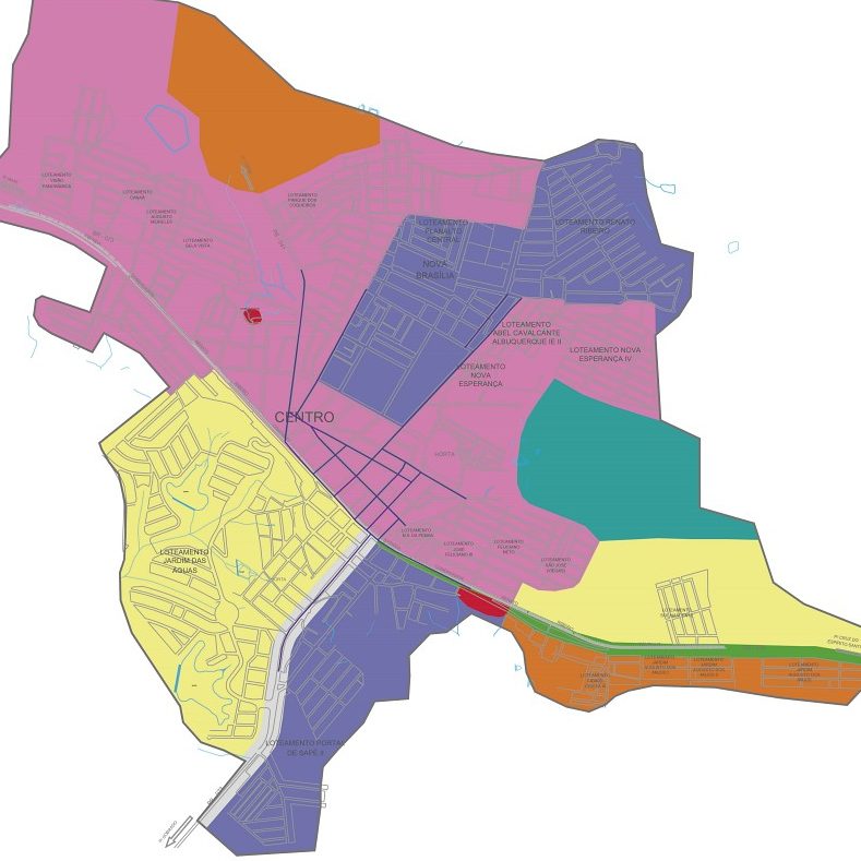
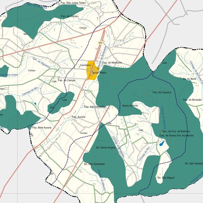
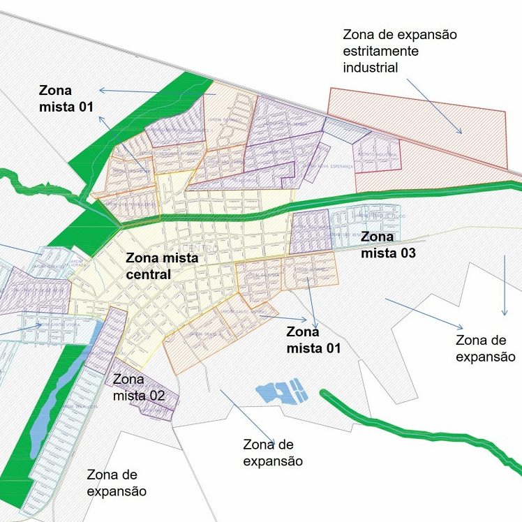
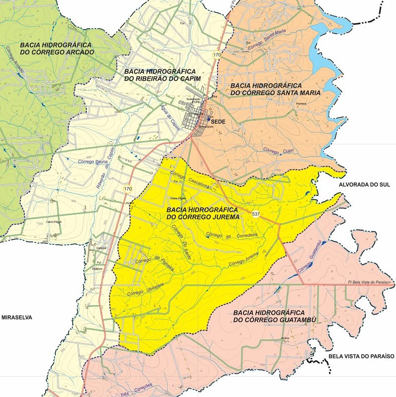
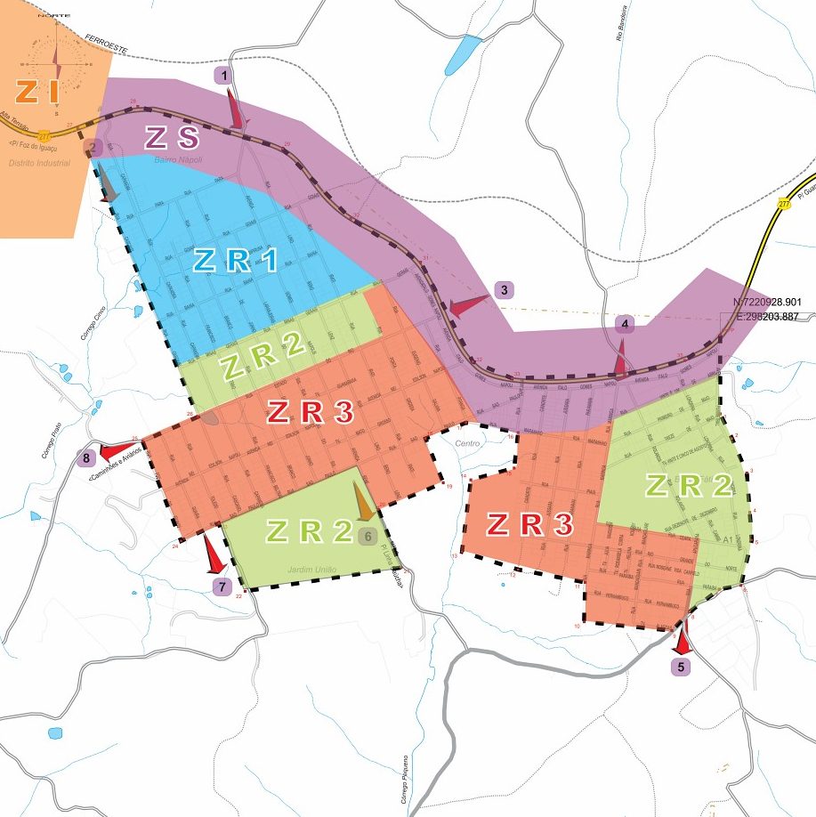
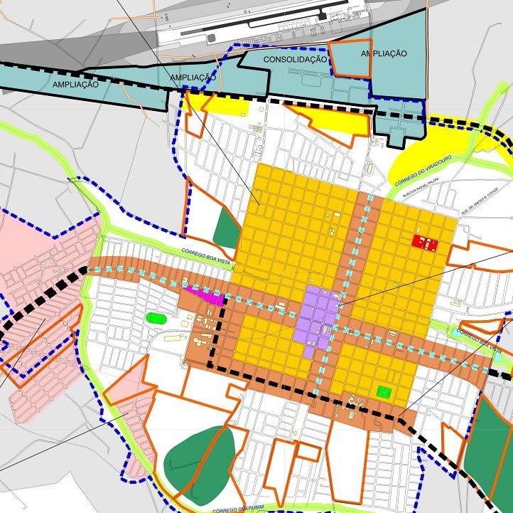
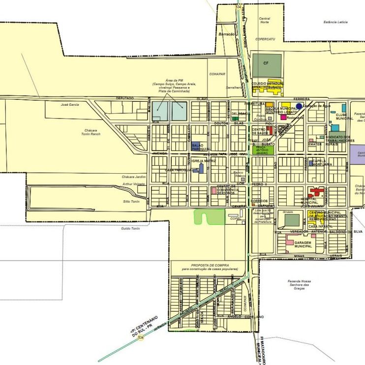
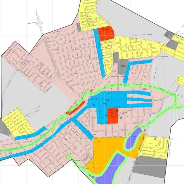
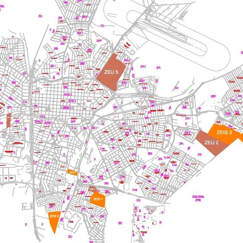
O Plano Diretor Participativo é o instrumento dos governos municipais voltado à política de desenvolvimento e expansão urbana. Para revisão e atualização do Plano Diretor, as características físicas do município, suas vocações, potencialidades e deficiências são novamente analisadas e com apoio e participação de toda sociedade as Diretrizes Vigentes são revisadas. O Plano Diretor é obrigatório para todas as cidades com mais de 20.000 habitantes. Veja abaixo alguns de nossos Projetos …
![](http://oarq.pessoal.ws/wp-content/uploads/2020/07/cropped-cropped-EVOLUCAO_URBANA.png)
![](http://oarq.pessoal.ws/wp-content/uploads/2020/08/cropped-Zoneamento-1.jpg)
![](http://oarq.pessoal.ws/wp-content/uploads/2020/08/cropped-Pessoas-Residentes-Idosos.jpeg)
![](http://oarq.pessoal.ws/wp-content/uploads/2020/08/cropped-06-URB-Uso-do-Solo.jpg)
![](http://oarq.pessoal.ws/wp-content/uploads/2020/08/cropped-ZoneamentoUrbano_Fernand.jpg)
![](http://oarq.pessoal.ws/wp-content/uploads/2020/08/cropped-2018-01-22-ZONEAMENTO.jpg)
![](http://oarq.pessoal.ws/wp-content/uploads/2020/08/cropped-03-04-DIRETRIZES-HIERARQUIZAÇÃO-VIÁRIA.jpg)
![](http://oarq.pessoal.ws/wp-content/uploads/2020/08/cropped-Proposta-de-Zoneamento.jpg)
![](http://oarq.pessoal.ws/wp-content/uploads/2020/08/cropped-macro_macrozonaFINAL-copy.jpg)
![](http://oarq.pessoal.ws/wp-content/uploads/2020/08/cropped-Zoneamento-2.jpg)
![](http://oarq.pessoal.ws/wp-content/uploads/2020/08/cropped-Detalhe-2A-Zoneamento-Mangaratiba.jpg)
![](http://oarq.pessoal.ws/wp-content/uploads/2020/08/cropped-ANEXO6_PERÍMETRO-E-MANCHA-URBANA-CONSOLIDADA-A3-1.jpg)
![](http://oarq.pessoal.ws/wp-content/uploads/2020/08/cropped-Backup_of_Declividade-Urbana.jpg)
![](http://oarq.pessoal.ws/wp-content/uploads/2020/08/cropped-Ortigueira_Hipsometria_Municipal.jpg)
![](http://oarq.pessoal.ws/wp-content/uploads/2020/08/cropped-MAPA-ZONEAMENTO-URBANO.jpg)
![](http://oarq.pessoal.ws/wp-content/uploads/2020/08/cropped-M2-01.jpg)
![](http://oarq.pessoal.ws/wp-content/uploads/2020/08/cropped-doc2_Page1.jpg)
![](http://oarq.pessoal.ws/wp-content/uploads/2020/08/cropped-Mapa-27-Macrozoneamento-1.jpeg)
![](http://oarq.pessoal.ws/wp-content/uploads/2020/08/cropped-Municipal-Relevo_Page1.jpg)
![](http://oarq.pessoal.ws/wp-content/uploads/2020/08/cropped-Zoneamento-3.jpg)
![](http://oarq.pessoal.ws/wp-content/uploads/2020/08/cropped-anexo-1-A_compressed-1.jpg)
![](http://oarq.pessoal.ws/wp-content/uploads/2020/08/cropped-Anexo-II-Macrozoneamento.jpg)
![](http://oarq.pessoal.ws/wp-content/uploads/2020/08/cropped-Macrozoneamento-02-de-outubro-de-2012-1.jpg)
![](http://oarq.pessoal.ws/wp-content/uploads/2020/08/cropped-LEOPOLIS-4.jpg)
![](http://oarq.pessoal.ws/wp-content/uploads/2020/08/cropped-DECLIVIDADE-1.jpg)
![](http://oarq.pessoal.ws/wp-content/uploads/2020/08/cropped-Imagem1-1.jpg)
![](http://oarq.pessoal.ws/wp-content/uploads/2020/08/cropped-Bacis_Hidrograficas_Municipal-1.jpg)
![](http://oarq.pessoal.ws/wp-content/uploads/2020/08/cropped-ibema-3-1.jpg)
![](http://oarq.pessoal.ws/wp-content/uploads/2020/08/cropped-ITAPOLIS-DIRETRIZES-URBANAS-05-1.jpg)
![](http://oarq.pessoal.ws/wp-content/uploads/2020/08/cropped-Equipamentos_URBANO_Page1-1.jpg)
![](http://oarq.pessoal.ws/wp-content/uploads/2020/08/cropped-MAPA-ZONEAMENTO-PDF-FINAL_Page1-1.jpg)
![](http://oarq.pessoal.ws/wp-content/uploads/2020/08/cropped-03-1.jpg)
![](http://oarq.pessoal.ws/wp-content/uploads/2020/08/cropped-2020_07_14-P01-ETAPA-1_Page1-1.jpg)
![](https://www.oliverarquitetura.com.br/wp-content/uploads/2023/06/cropped-2021_11_02-Zoneamento-de-Tiete.jpg)